Thurlestone Golf ClubSouth Devon

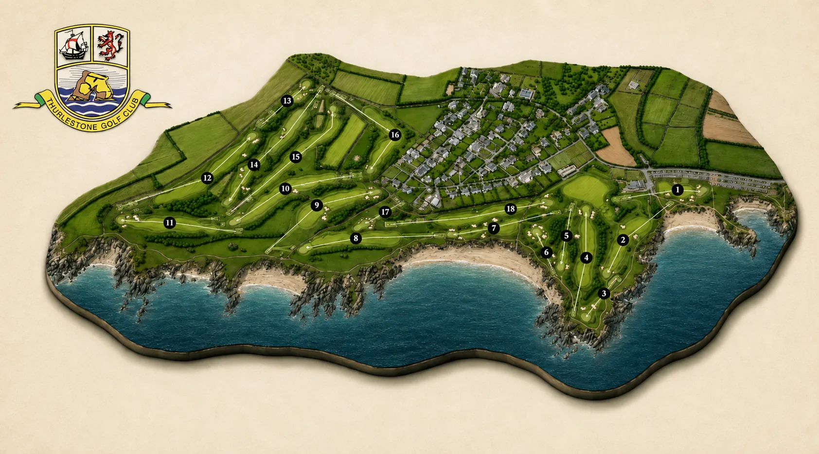
Illustrated aerial map of Thurlestone Golf Club on cream paper, the eighteen holes numbered in black markers, laid along a headland above a curving sandy bay with dark rocks and turquoise sea, the village and its fields inland, and the club crest at the top left.
Course map
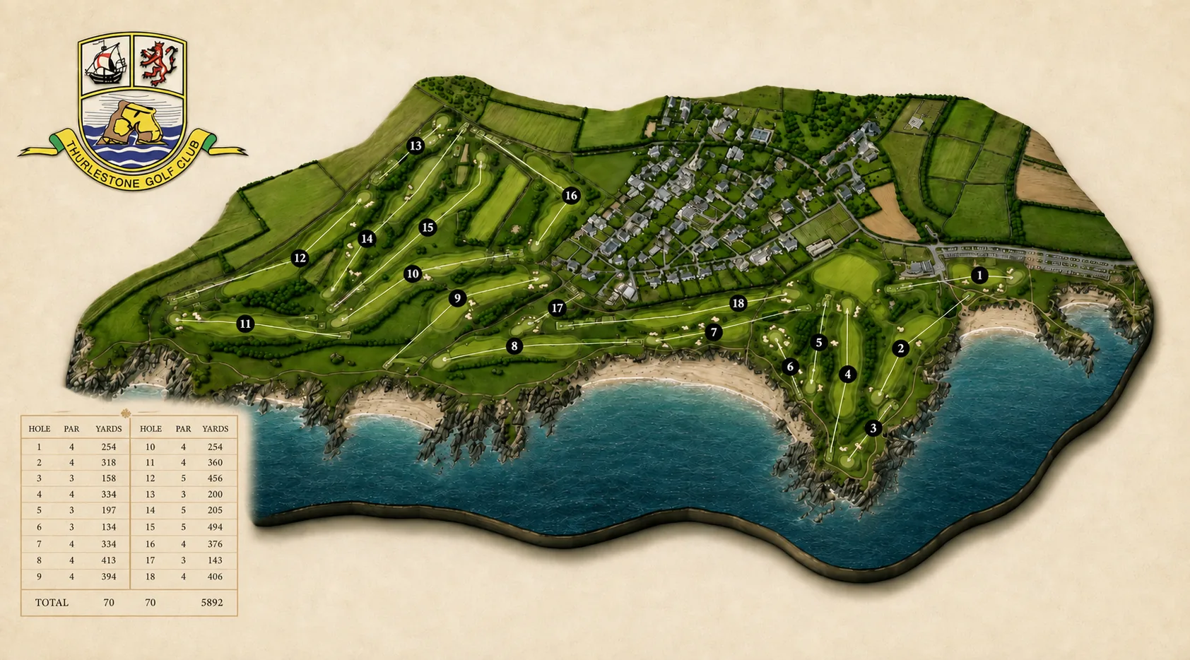
The same course map with a scorecard table set into the lower left, listing the par and yardage of each hole from 254 yards at the 1st to 406 at the 18th, totalling par 70 over 5,892 yards.
Course map, yardages
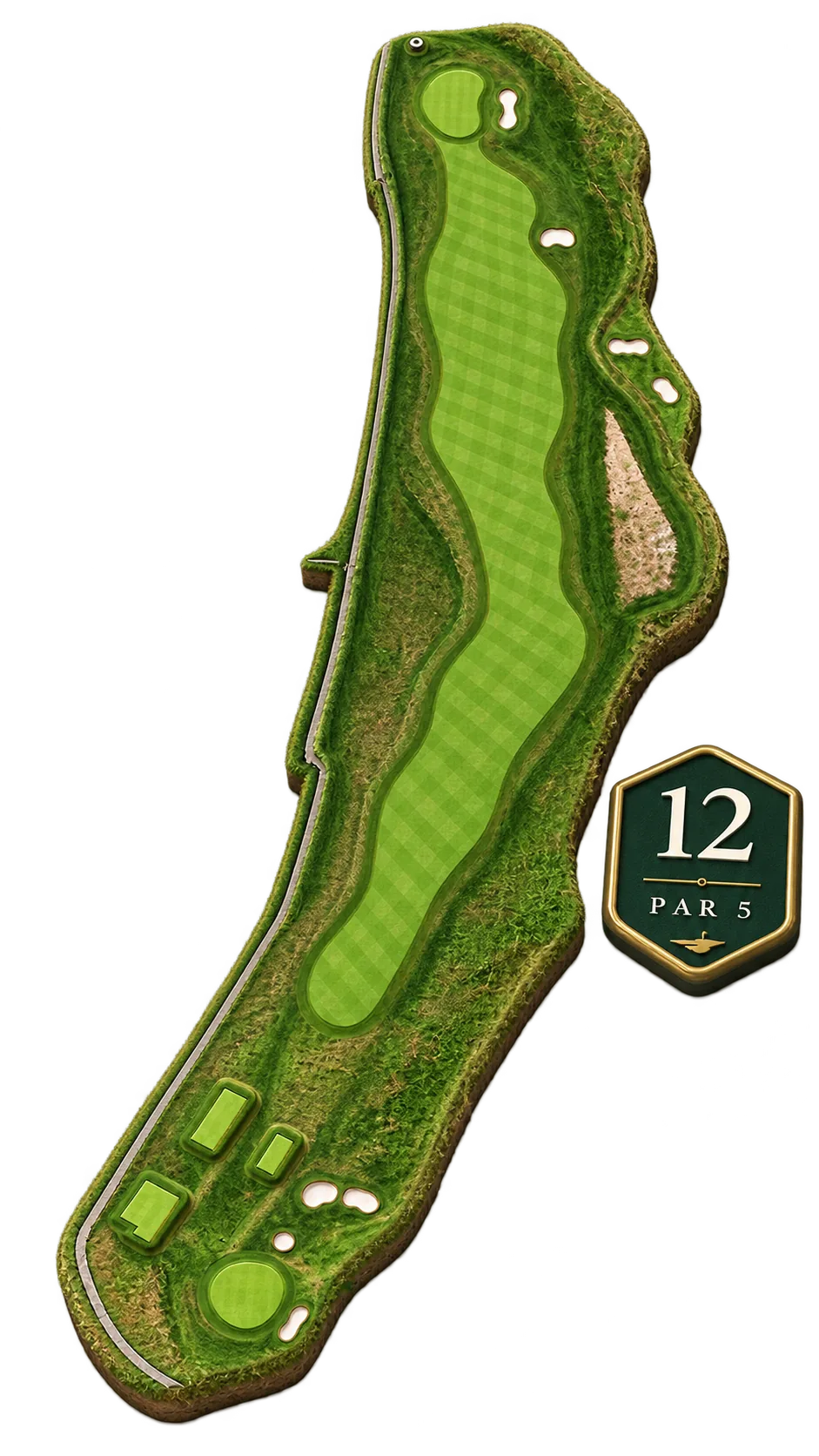
Aerial view of the 12th hole cut out from its surroundings, a long fairway winding up between rough and scattered bunkers from the tees at the foot to a green in the top corner, with a lane running the whole length of its left-hand edge, marked par 5.
12th, par 5
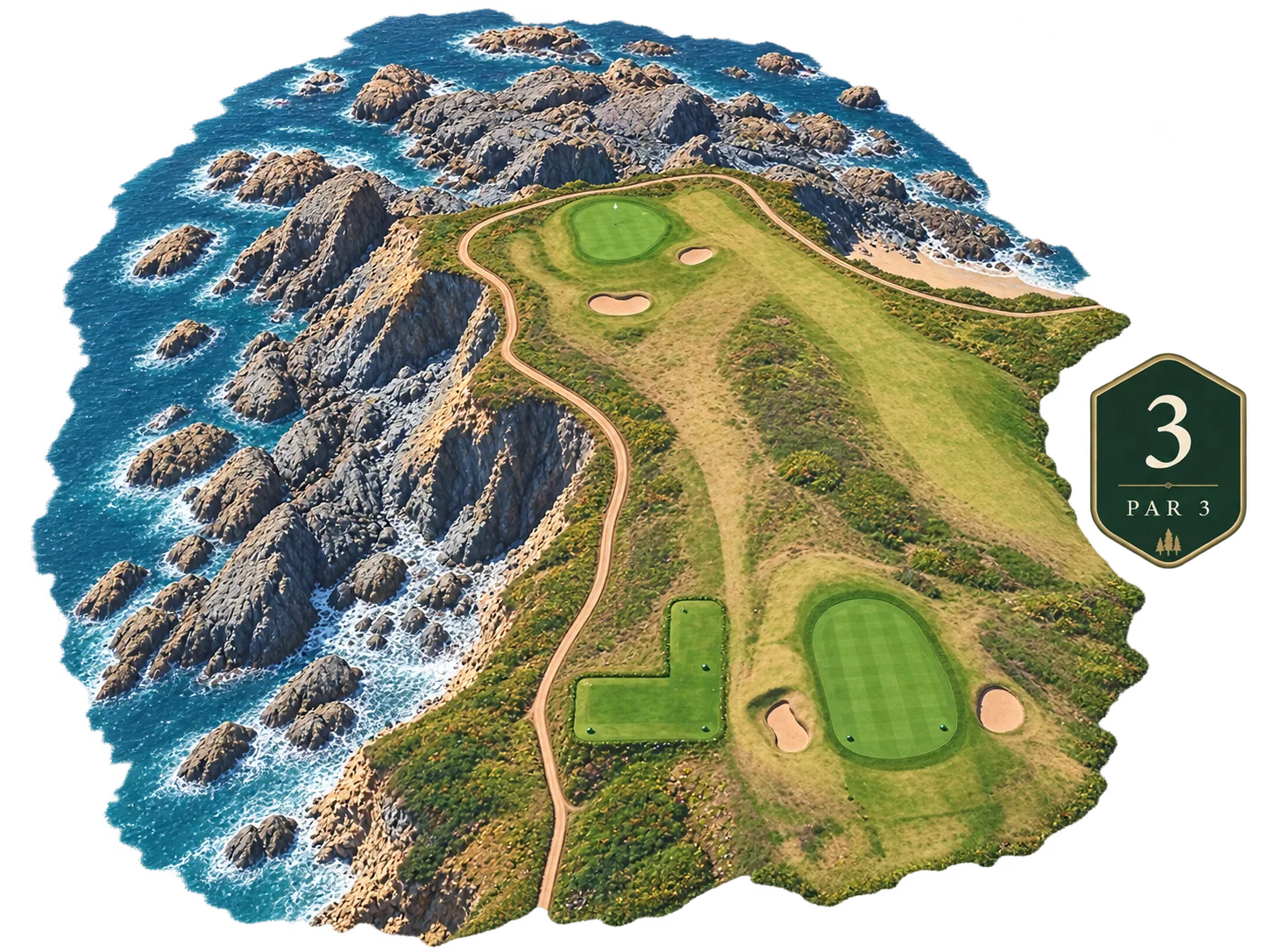
Aerial view of the 3rd hole cut out from its surroundings, an L-shaped tee at the foot playing up over gorse and rough to a green set on the clifftop edge with two bunkers short of it, a track winding alongside, and the sea breaking white over dark rocks the whole length of the left, marked par 3.
3rd, par 3
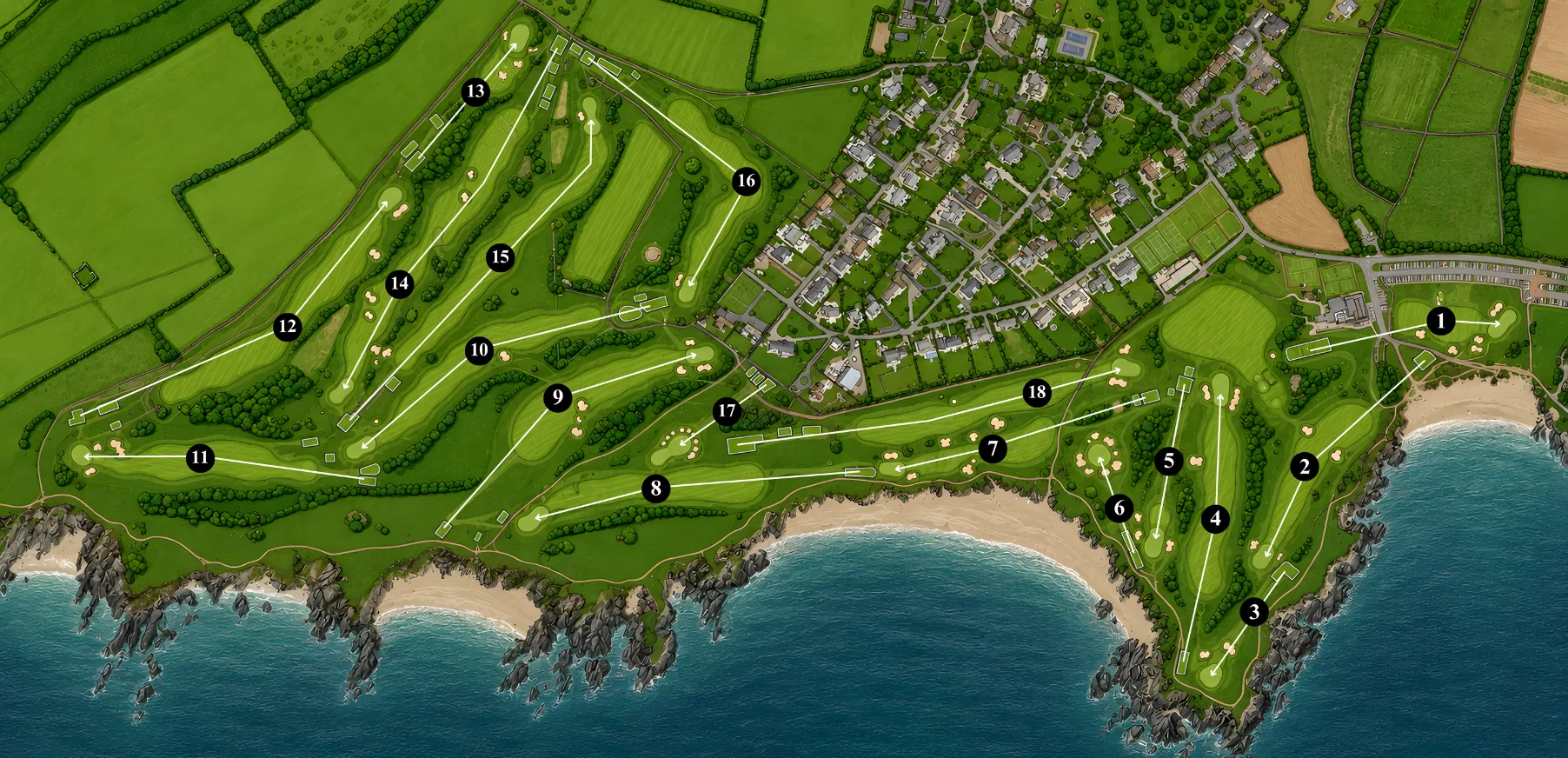
The course map filling the frame edge to edge in full daylight, the fairways bright green against the village rooftops and the blue of the bay.
Course map, daylight
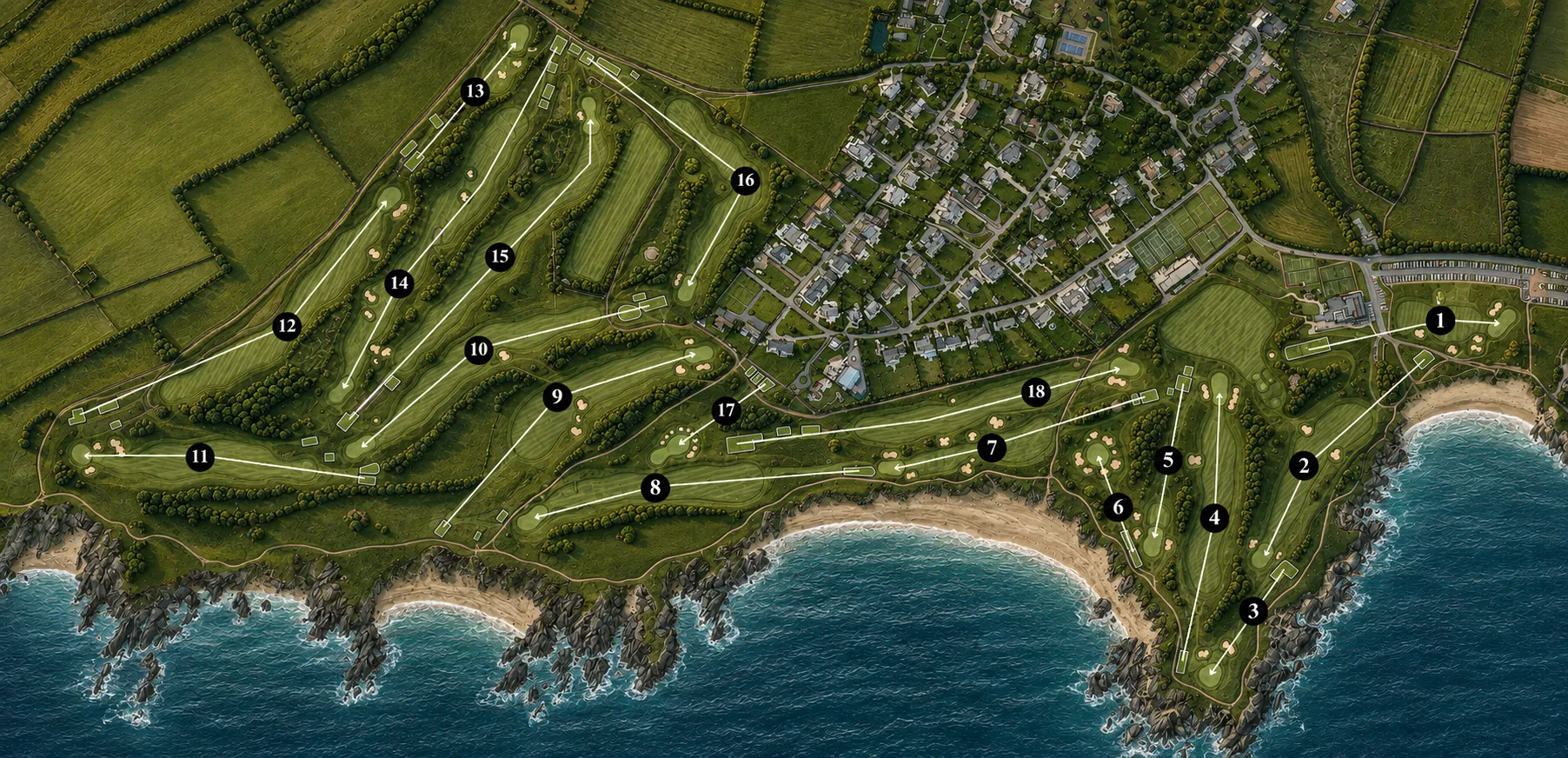
The same full-bleed course map under deeper shade, the greens darkened and the sea gone slate blue, the numbered hole markers standing out white against it.
Course map, shaded
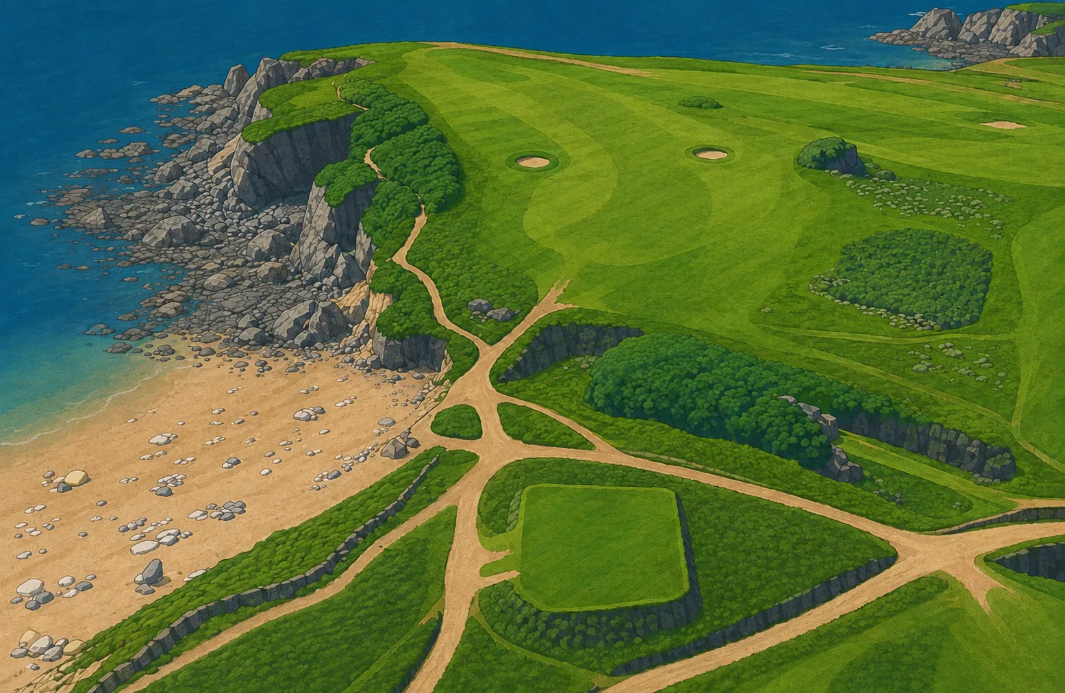
Painted illustration of the clifftop, looking down on sandy paths crossing close-cropped turf between stone walls and clipped thorn hedges, two bunkers on the high ground, and a boulder-strewn beach and dark rocks at the water's edge.
Clifftop